Is your data failing to get the attention it deserves? Then why not create a pin map with free-to-use eSpatial? In minutes, you can create a free shareable interactive map like the one below.
Click on the above map to interact with it. To go full-screen, click here. It's easy to create a map with pins using eSpatial
Step-by-step Pin Map Creation
Step 1
Ensure your Excel spreadsheet data file (containing the information you want to plot) has a location column. (If you have problems uploading the data, read the Prepare Data help pages.) Then save the file – eSpatial accepts xls, .xlsx, or .csv files.
Step 2
Sign up for a free eSpatial trial. Add a password and an email address. We will only ask you for financial information if you upgrade to a paid account. eSpatial is cloud-based, so there are no plug-ins required. Access your maps from any computer (Mac or PC) or mobile device with an internet connection. You can also share maps by simply forwarding a unique webpage link.
Step 3
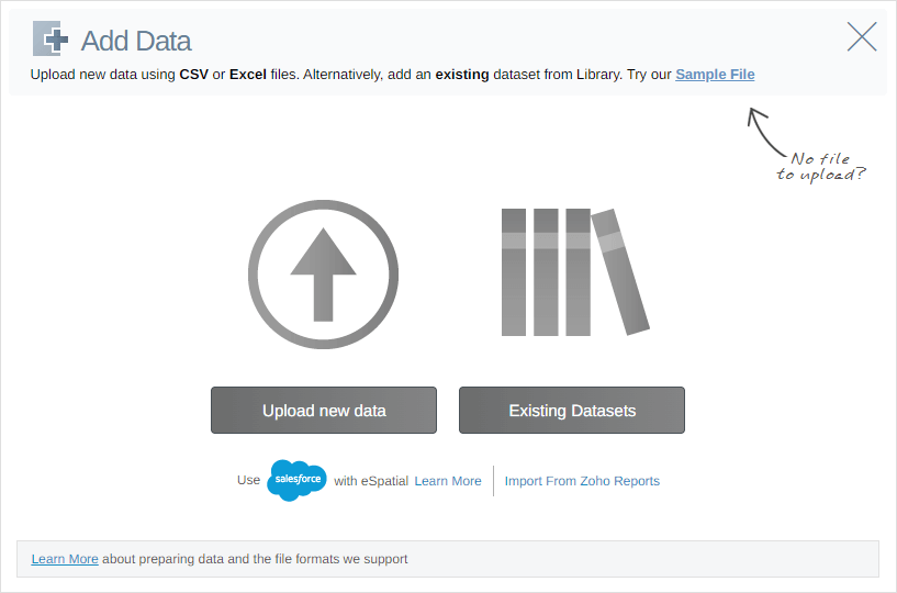
On sign-up, your account automatically opens. Click Upload new data. Our wizard will guide you through making a map.

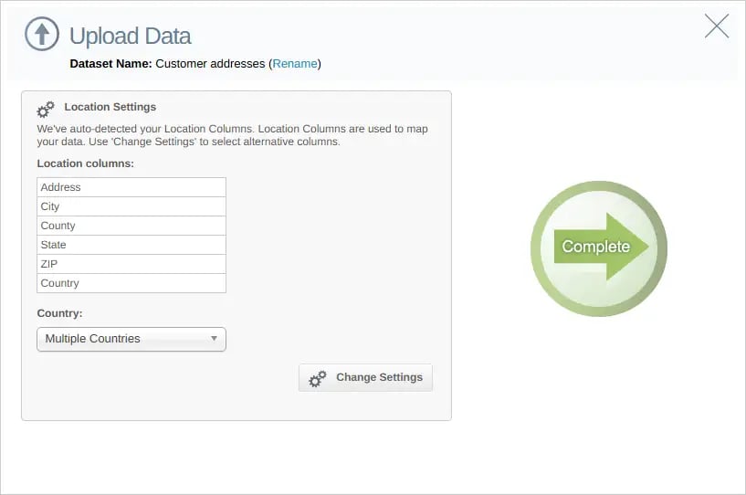
eSpatial for your location information for plotting purposes. You will be requested to confirm the location column (there may be more than one column with location information). If you are happy, click Complete.

Step 4
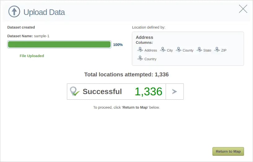
Your data is uploaded and plotted on a map. Map creation time varies depending on the quality & volume of data and connection speed. When the upload is complete, click Return to Map.

Step 5
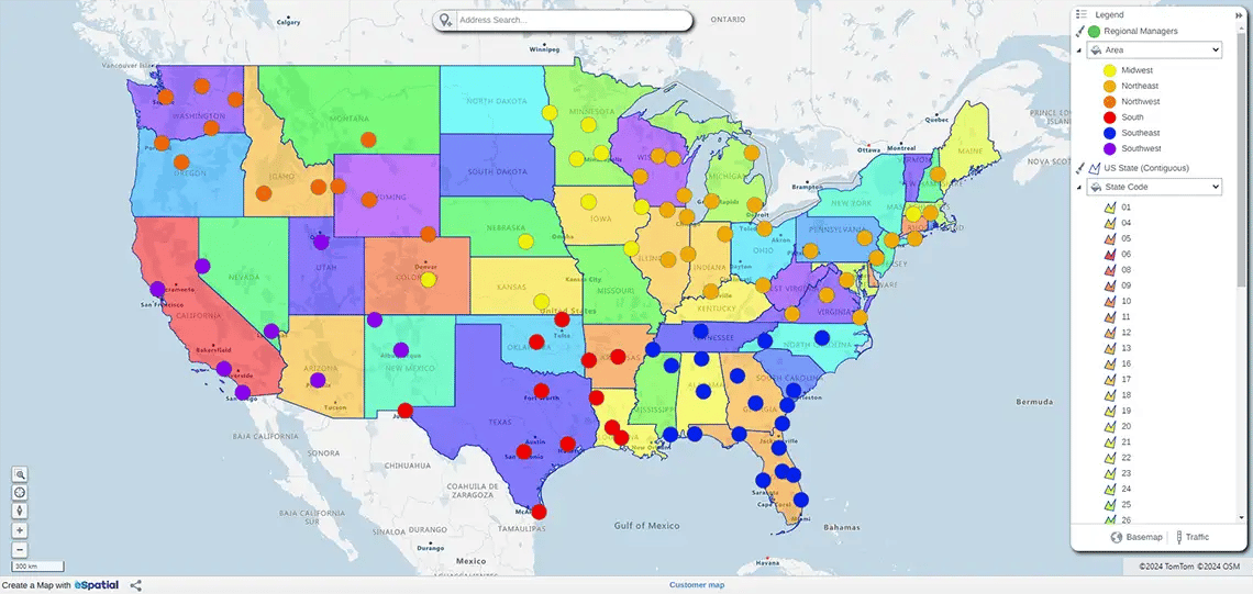
You now have a pin map with plotted spreadsheet data.

What Next?
You can start to analyze data plotted with eSpatial. Create heat maps, territory maps, radius maps or route planning maps.
Are you a Salesforce User? Check out eSpatial for Salesforce on the AppExchange!
 by
by 