We are thrilled to announce a major new release in Q3. This release introduces the latest capabilities and features that you, our valued users, have requested. We believe these updates will significantly enhance your map-creating experience, making it smoother, more responsive, and faster, and ultimately, improving your productivity and efficiency.
What to expect
1. Map Rendering / Visualisation
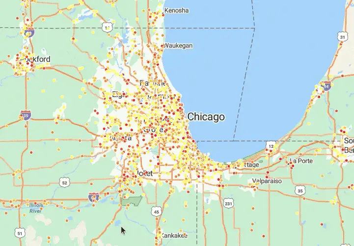
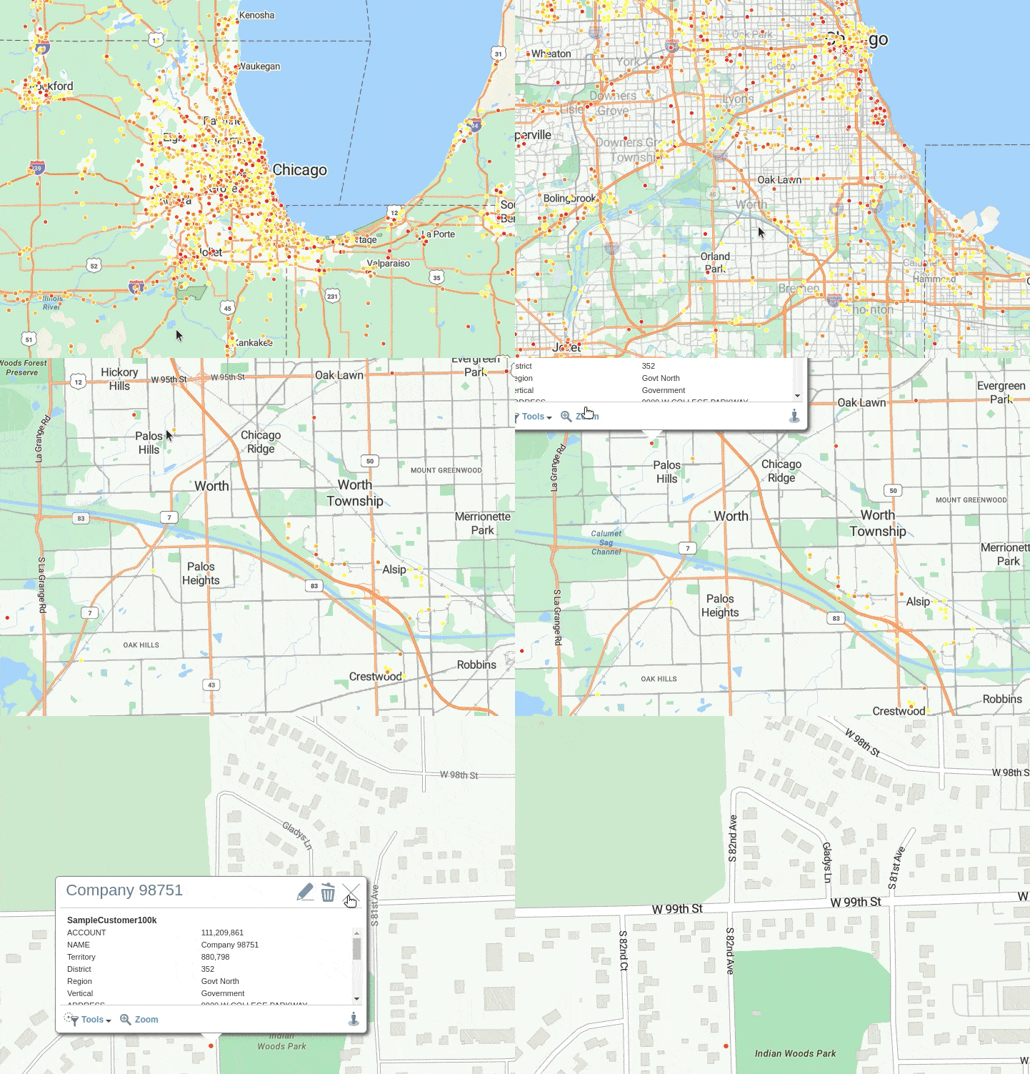
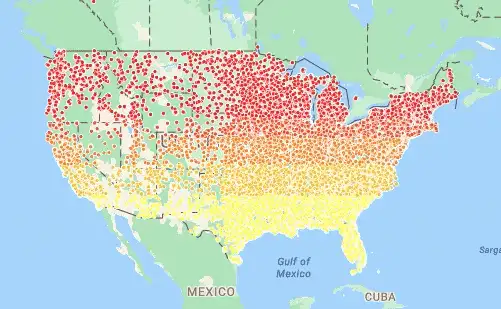
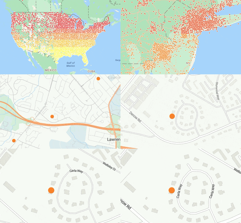
Map rendering involves all the moving parts that make creating maps easy, including the unseen but critical technology, libraries, and methodologies that result in beautiful interactive maps. In this release, we have rebuilt our map rendering to use the latest and greatest supporting technologies to give you the best mapping experience. Your map-creating experience will be smoother, more responsive, and faster:
- Maps will be rendered faster
- Panning, drawing, and Zooming will be super smooth
- Handling larger datasets will get easier
- Dynamic data labelling means that as you zoom in and out, the software dynamically places your label in the free spaces around your points, making label reading easier.
- Enhanced print quality
- Printing from Multiple Base Maps, a popular customer request, will be available
2. Map wizard
Introducing a new map wizard, a user-friendly tool that simplifies accessing all 15 available map types.
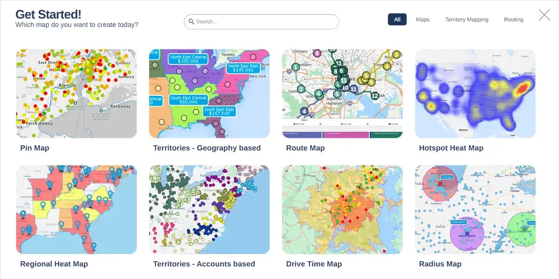
Each map type includes a sample map, allowing you to experiment with new map types in seconds. This feature will make it easier to find the right map for the right requirement.
Map wizard benefits
- Browse and learn about all map types we offer
- Choose the most suitable map to analyze your data, design your territories, and optimize your routes
- Learn about the benefits and use cases of each map type along with how other companies are using eSpatial
- Onboarding new users will get even smoother
3. Accounts based territory optimization
We are introducing account-based territory optimization using the road network. It is a significant upgrade for our territory mapping software users (and any organization with a field-based sales or service team).
- The software optimizes and balances your territories using the road network, delivering new levels of effectiveness and efficiency.
- Design and optimize territories anywhere in the world with points-based territories.
4. New lasso tool
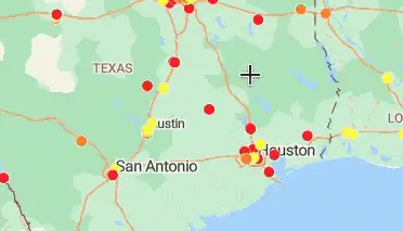
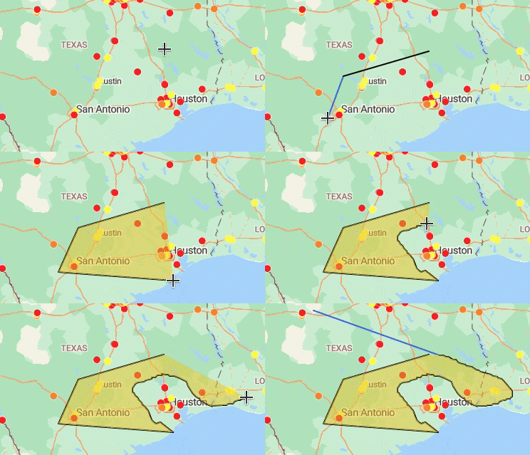
We have replaced the Lasoo tool with a new lasso tool that is far more reactive. You can now both click point by point, and hold your mouse button down and freehand draw the selection area.
5. User experience enhancements
These are just some of the additional highlights in the changes we have made with this release, again mostly coming from your feedback:
- Create heatmaps from the legend, saving you clicks and time.
- New improved experience for new users as their first interaction with maps will be smoother and faster. When you create a new user, they will now start in the map you have shared with them getting them productive in eSpatial quicker, improving your onboarding.
Thank you
Your feedback has been instrumental in shaping these changes. We value your ideas and would love to hear more. Please share your thoughts with me, Paul, the Head of Product, or with your Customer Success Manager (CSM). Your input is crucial in helping us continue to improve our software.
 by
by 